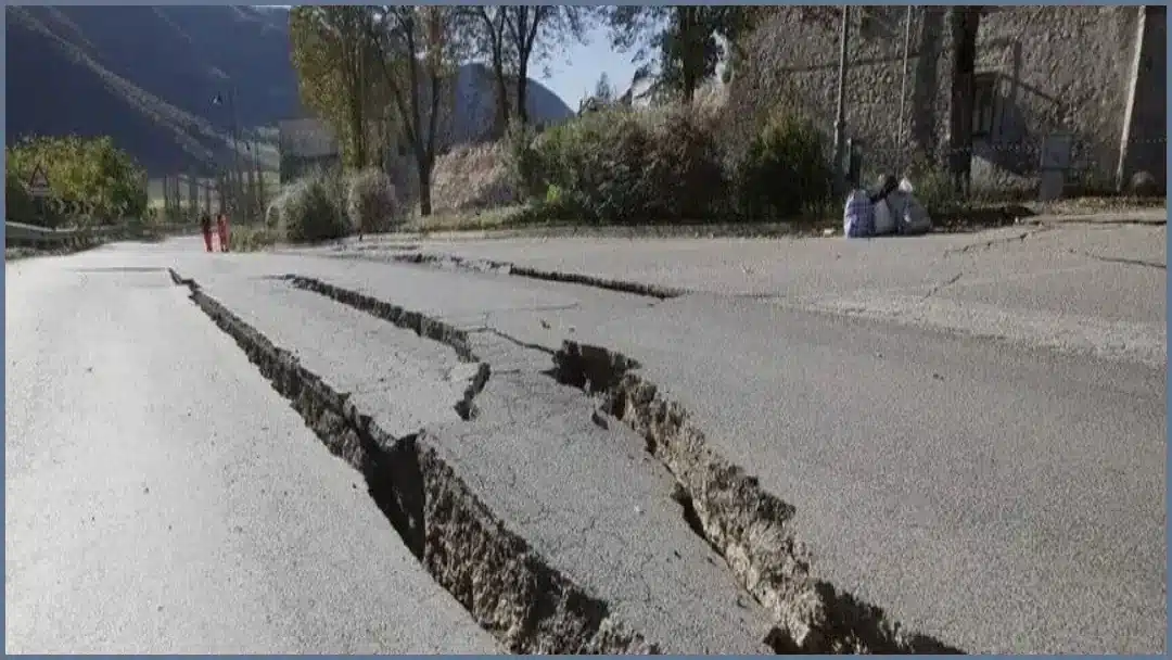
A powerful earthquake struck southern Peru on Thursday afternoon, prompting alerts across multiple regions of the country. The US Geological Survey (USGS) measured the tremor at a magnitude of 6.7, while the Geophysical Institute of Peru (IGP) reported a magnitude of 7.2.
The seismic event occurred at 1 pm local time (1800 GMT) at an intermediate depth of 108 kilometres (67 miles). According to the IGP’s National Seismological Centre (CENSIS), the epicentre was located approximately 35 kilometres north of Coracora, in the province of Parinacochas within the department of Ayacucho.
Despite the high magnitude of the tremor, Peruvian authorities and disaster risk agencies have reported no immediate casualties or severe structural damage. Geophysicists explained that the depth of 108 kilometres helped absorb a significant portion of the seismic energy before it reached the surface, resulting in a Mercalli intensity rating of III-IV, which indicates light to moderate shaking near the epicentre.
The earthquake was felt clearly across both southern and central Peru, with residents as far away as the capital city of Lima reporting that they felt the shaking. This latest event follows a period of heightened seismic activity across the country's northern and southern regions. Peru is situated on the “Pacific Ring of Fire,” a location that makes the nation prone to frequent seismic activity.
In light of the recent tremors, the IGP has urged the public to remain vigilant, review their household evacuation protocols, and ensure that emergency supply kits are kept ready. The country has a history of destructive seismic events, most notably in 2007, when a 7.9-magnitude earthquake struck primarily in the Ica region, resulting in nearly 600 deaths.
Related Articles

Mr. Udoy is a professional Web Developer and Blogger with 7+ years of experience in the tech world. He specializes in web architecture and digital storytelling. As the driving force behind worldincidents.com, he focuses on delivering high-quality, well-researched content to a global audience.